
THE MET Office has issued a yellow ‘be aware’ weather warning as Storm Barney heads to our county.
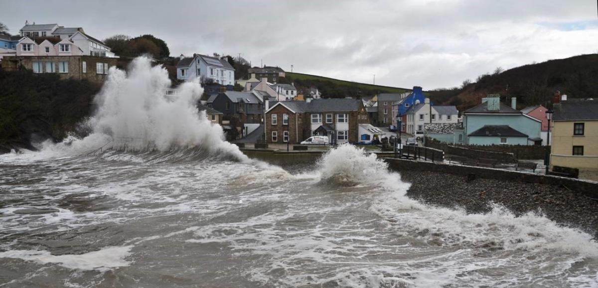
Heavy rains and strong gales have been forecast as Britain’s second named storm is expected to bring winds of 80mph along the exposed coast of Pembrokeshire.
The gales are expected to reach west Wales by mid to late afternoon today (Tuesday, Nov 17), and make their way eastwards as the day continues.
The yellow ‘be aware’ warning extends into the early hours of Wednesday morning.
The Met Office has also warned that parts of south and west Wales may face serious travel disruption due to the high winds and heavy rain.
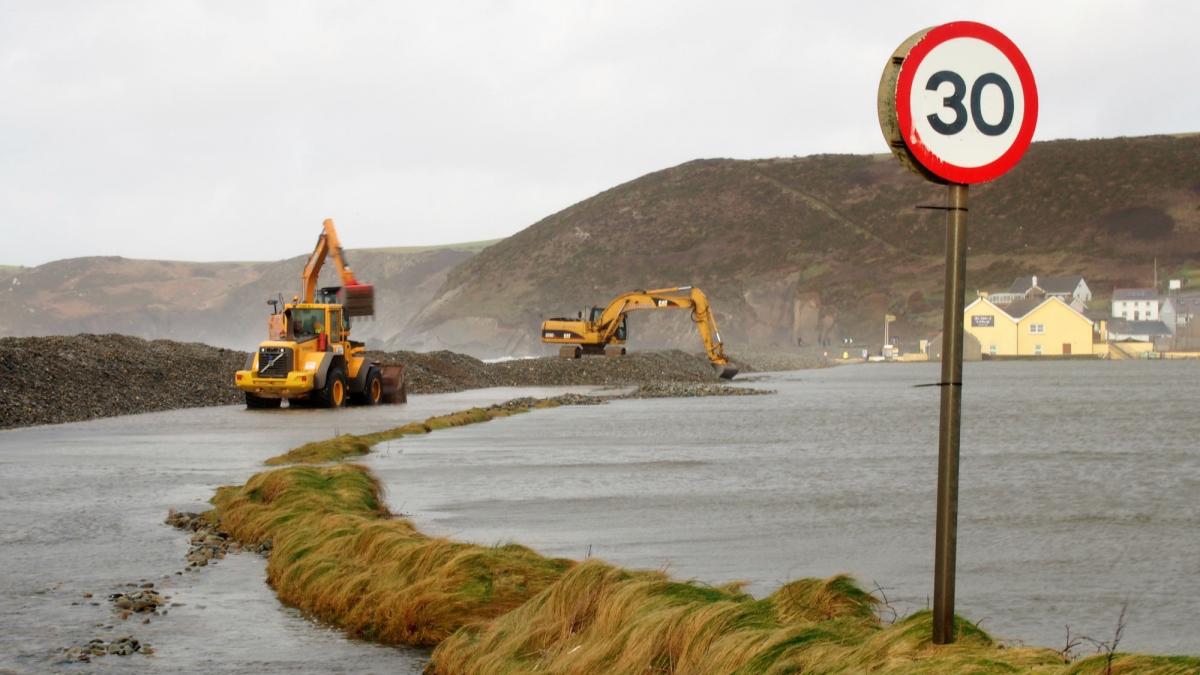
An additional hazard will be the large waves which will batter the coast and emergency services have warned people not to put themselves in danger along the seafront.
Flood alerts and flood warnings are updated on the Natural Resources Wales’s website every 15 minutes and are available to view at www.naturalresources.wales/flooding
UPDATE 5pm from Pembrokeshire County Council:
Situation at 17:00 hours, Tuesday, 17th November
Weather
Yellow Warning of Wind in place for Pembrokeshire
Westerly to WSW wind averaging around 57-60 mph with gust of 76mph recorded
Road Blockage/Traffic Disruption
-Traffic Lights at Merlins Bridge Roundabout have stopped working and causing traffic disruption
-Cable down on B4341 after Broadway heading to Haverfordwest reported to Western Power
-B4330 Crowhill, Haverfordwest– Tree partially blocking the road between Nursery and Redhill Park is being cleared
-Tree Down on power line at Beach Hill, Milford Haven – Road passable with care
-High Street, Tenby – road section closed off due to roof tiles coming off
Flooding
-Number of locations with blocked drains cleared across the county today to alleviate minor surface water flooding
-Flooding reported on C3090 road at Colby Farm, Wiston – road leading from A40 Jct at Slebech towards Wiston
UPDATE 6pm: Almost 400 homes are without power due to the storm


Comments: Our rules
We want our comments to be a lively and valuable part of our community - a place where readers can debate and engage with the most important local issues. The ability to comment on our stories is a privilege, not a right, however, and that privilege may be withdrawn if it is abused or misused.
Please report any comments that break our rules.
Read the rules here