
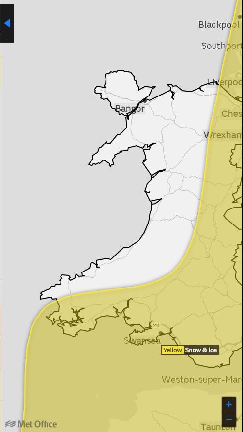
The Met Office has extended a warning for snow and ice to include parts of Pembrokeshire this weekend.
The yellow 'be aware' warning is in place for snow and ice for all of Sunday.
The warning cuts Pembrokeshire in half with areas to the north of the county such as St Davids and Fishguard out of the warning zone.
Pembrokeshire County Council said its gritters will be treating the County’s main routes.
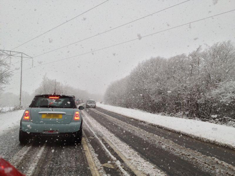
Much of the snow is expected to be light but with time, there is scope for 2cm to 5 cm to accumulate at lower levels and around 10cm in higher communities.
The snow is expected to be powdery once again and hence there is the scope for drifting in the strong easterly winds.
The council said: "Council gritters will be routinely salting and patrolling Pembrokeshire’s main routes and will attend to roads of lower classification as resources allow if conditions deteriorate.
"However with a network of over 2500km to maintain it is not possible to treat all the roads.
"The advice, as always, is to take extreme care on the roads and to avoid making journeys in adverse weather conditions."
For the latest information on how the weather is affecting Pembrokeshire, see: www.pembrokeshire.gov.uk/situation-updates
The information on these pages will also be available on the Council’s social media:
www.facebook.com/pembrokeshirecountycouncil
The Met Office stated: "Snow showers are likely to continue throughout Sunday, with a chance that longer spells of snow may affect southern regions for a time on Sunday.
"There is a chance of travel delays on roads with some stranded vehicles, along with delayed or cancelled rail and air travel. There is a chance that power cuts could occur.
"There is a small chance that some rural communities could become cut off. Icy surfaces may increase the risk of accidents and injuries. Significant wind chill will be another factor. This warning has been updated to slightly adjust the western boundary westwards."
The Chief Forecaster's assessment, added: "Snow accumulations will be variable across the area as showers are expected to organise into bands.
"Whilst some areas will receive relatively small amounts of snow, narrow bands of 5-10 cm of snow are likely, with a chance of 15 cm over higher ground. Strong easterly winds will result in some drifting of lying snow, and lead to a significant wind chill. Showers are expected to become more isolated through Sunday morning."


Comments: Our rules
We want our comments to be a lively and valuable part of our community - a place where readers can debate and engage with the most important local issues. The ability to comment on our stories is a privilege, not a right, however, and that privilege may be withdrawn if it is abused or misused.
Please report any comments that break our rules.
Read the rules hereLast Updated:
Report this comment Cancel